Topographic Mapping
Landbase Data Creation
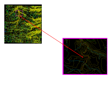
The National Topographic System (NTS) provides general-purpose topographic map coverage of Canada. These maps depict in detail ground relief (landforms and terrain), drainage (lakes and rivers), forest cover, administrative areas, populated areas, transportation routes and facilities (including roads and railways), and other man-made features. Exhaustive standards and specifications have been developed for the NTDB, with a focus on concepts of dataset, theme, entity, entity occurrence, and spatial relation. Canadian land mass is divided into map tiles. Each map tile is one data set which has entity as its basic unit, and organized into 14 themes.
The specifications for vectorization of raster maps are exhaustive and define spatial relations between and for 112 entities and 14 themes. There is a requirement to specify the domain of attribute values for each entity and the output is produced as a .csvg file. Sunram has experience in the production of digital data through the capture of topographical features in the NTS dataset conforming to the standards and specifications defined in the NTDB and Data Dictionary. Using various inputs such as Georeferenced raster file, Neat-line Co-ordinates, Topographic Maps etc, vector data sets are produced.

